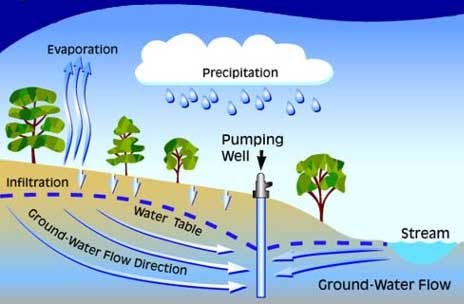
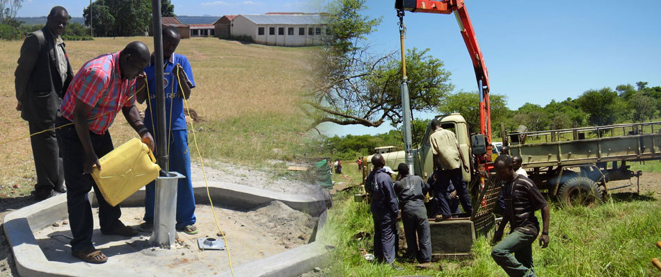
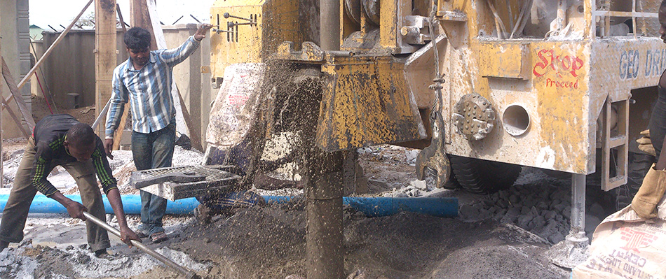
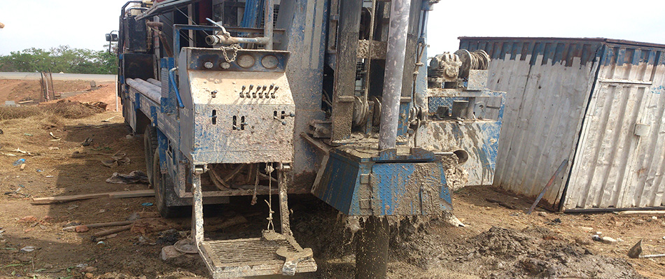
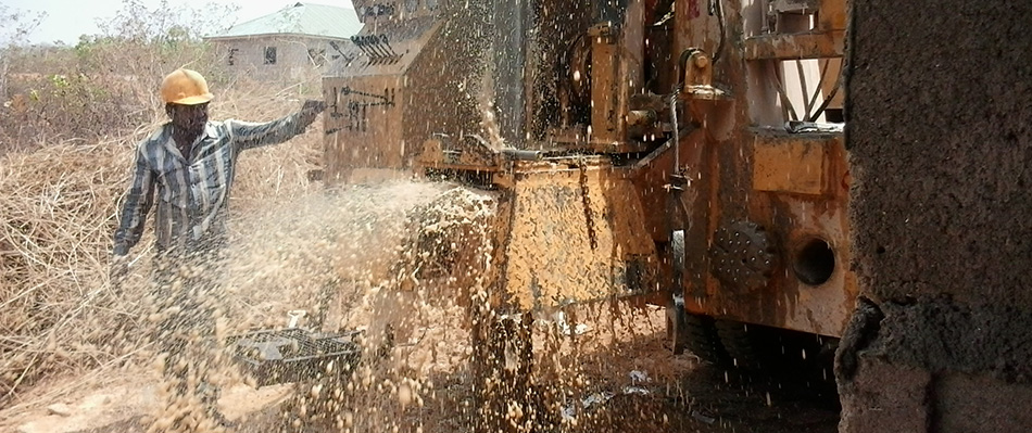
There is 40 times as much ground water below the earth surface as there is in all worlds streams and lakes. However the groundwater is unequally distributed Geo Drill Select suitable sites for exploration of significant quantities of groundwater before carrying out any drilling exercise. We use variety of geophysical methods to assist in the assessment of geological sub-surface conditions; mostly we use the
Objectives of carrying out Groundwater Geological surveys are:
1. Generation of water base line information.
2. First approximation of ground water condition.
3. Collection of data from every source.
4. Estimation of resource in terms of quality & quantity.
5. Identification of stress areas.
6. Developments of vital inputs for planning and development.
7. Maintain the Hydro-geological Database to enable us to provide the general public with
information on water boreholes drilled including groundwater quality.
Our Geological Surveys Include:
1. Site reconnaissance and site mapping.
2. Determination Of Hydro-Geological And Hydro-Chemical Parameters Through Testing.
3. Ground water Feasibility